Our diverse range of courses reflects our commitment to preparing professionals to work with underground infrastructure and energy networks. In the world of cables and pipelines, GIS and geoinformation are playing an increasingly important role in the design, mapping, and management of networks. Whether you want to understand how energy networks are spatially mapped or learn how GIS technology is applied within the energy sector, we offer courses tailored to these practical needs.
Our Intro to GIS and the Energy Sector course offers an accessible introduction to how geoinformation is used within energy infrastructure and network management. For those who want to delve deeper into the structure of underground infrastructure and data models, the GeoStruct course provides an essential foundation. In addition, we offer specialized courses such as GIS and Power Lines and GIS and Gas Infrastructure, in which you learn how electricity and gas networks are modeled, analyzed, and managed using geoinformation. By combining these courses, a comprehensive learning path is created where theory and practice come together.
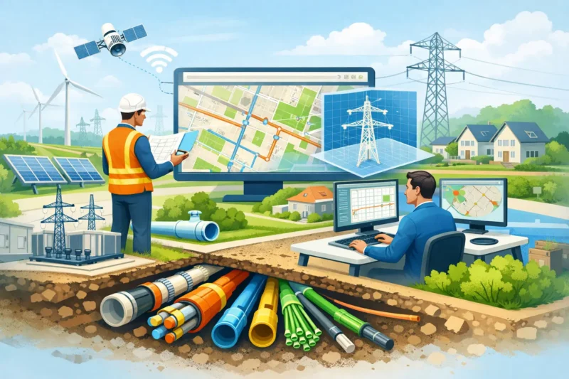
The role of cables and pipelines in our infrastructure
The networks of cables and pipelines form the foundation of our energy supply and urban development. Electricity, gas, water, and telecommunications are delivered to homes and businesses via complex underground infrastructures. Using geoinformation, these networks can be accurately mapped and analyzed, giving network operators and engineers insight into the location, capacity, and development of infrastructure.
- The expansion of electricity grids is necessary due to the growth of renewable energy and electrification.
- New residential areas require the construction of complete underground infrastructure.
- Managing existing networks requires accurate recording and analysis of infrastructure data.
These developments highlight the importance of reliable infrastructure data. By utilizing GIS and other geoinformation technologies, network operators can better plan where new networks are needed and how existing systems can be expanded or improved. Digital maps, network models, and asset data help prevent outages, plan maintenance, and safely carry out work.
In addition, geoinformation makes it possible to link infrastructure to other spatial datasets, such as buildings, addresses, and soil data. This creates a more complete picture of the environment in which cables and pipelines are located, allowing projects to be carried out more efficiently.
Innovative Applications of Geoinformation in the Energy Sector
Within the energy sector, geoinformation plays a key role in developing new solutions for infrastructure management and the energy transition. With modern GIS technologies, large amounts of data can be analyzed and converted into insights that aid in planning and decision-making. Some examples:
- Network planning: GIS analysis helps determine where new electricity or gas networks should be built.
- Asset management: Geoinformation enables the digital registration and monitoring of infrastructure assets.
- Subsurface analysis: Combining different datasets provides insight into the spatial interaction between cables, pipelines, and other infrastructure.
These applications demonstrate that knowledge of GIS and infrastructure data is essential for professionals working on the energy and infrastructure networks of the future. In our courses, you’ll learn not only how the technology works but also how it’s applied in practice within network management, engineering, and infrastructure projects.
By delving into these courses, you will develop the skills to work with the data and systems needed to design, manage, and improve tomorrow’s energy supply. In doing so, you will contribute to the further development of a reliable and future-proof infrastructure.