
Free and open-source software
We believe the world belongs to everyone. GIS and geoinformation should be accessible and affordable to everyone. That is why we work exclusively with free and open-source software.
Teaching Method
Our lessons take place via individual online sessions with a specialist. Artificial Intelligence is used to develop personalized learning materials that align with your goals and experience level.
Entry level
All participants hold at least a BSc, MSc, or PhD degree, creating a professional and academically rigorous learning environment. Hans van der Kwast is our lead GIS instructor. Together with Hans, we always have access to the latest QGIS software, plugins, and applications, and we are recognized as a QGIS Certified Trainer for Europe.
QGIS Courses
The QGIS Courses category on Geo-ICT demonstrates how QGIS has evolved into a powerful open-source GIS platform for map production, spatial analysis, and geodata management. The page explains why QGIS is becoming increasingly important in Europe as a transparent and future-proof alternative to commercial GIS software such as ArcGIS. Additionally, the page provides an overview of Geo-ICT’s various QGIS courses, ranging from basic and advanced levels to specializations such as climate, 3D, Python, QField, and AI.
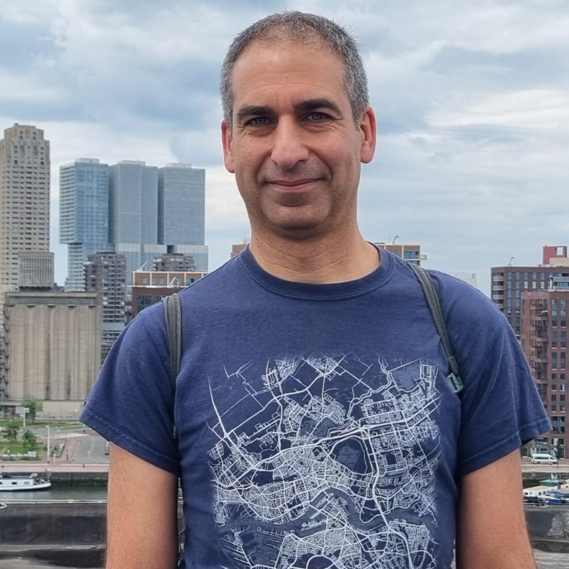 Associate Professor Hans van der Kwast
Hans has over 20 years of experience as a physical geographer, specializing in GIS and Remote Sensing. He is currently an associate professor of Open Science and Digital Innovation at the IHE Delft Institute for Water Education. In addition to his academic role, Hans provides global consulting, training, and coaching in the field of open-source GIS, helping organizations and professionals in the geospatial sector.