Our diverse range of courses reflects our commitment to equipping everyone with the knowledge and skills to make a positive impact on the climate. Whether you’re interested in observing the Earth and its climate, or want to learn specifically how to apply GIS technologies such as ArcGIS and QGIS to climate issues, we have a course for you. Our Observing Earth and Climate course provides a solid foundation in understanding our planet’s dynamic processes. For those who want to dive deeper into geoinformation, our ArcGIS and Climate and QGIS and Climate courses are ideal for learning how these powerful tools can be used for climate analysis and policy. By combining these courses, we ensure that you not only learn about the theory behind climate change but also gain practical skills to use geoinformation in the fight against climate change.
The Impact of Climate Change on Our World
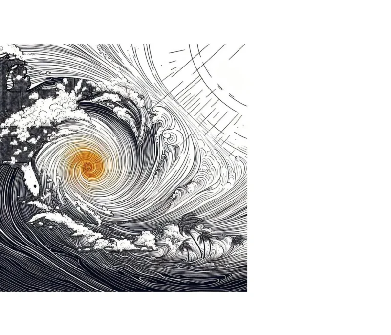
The impact of climate change on our world is both profound and far-reaching, leaving no aspect of our natural and human-made environment untouched. Through the lens of geoinformation, we see how these changes affect not only the environment but also how societies function and future planning.
- Rising sea levels threaten coastal communities and ecosystems.
- Changing weather patterns lead to more extreme weather conditions such as heat waves and heavy rainfall.
- Shifts in agricultural zones affect food production and security worldwide.
These points underscore the need for adaptive measures and mitigation strategies. By utilizing GIS and other geoinformation technologies, we can better understand how climate change affects specific regions and develop tailored solutions. For example, by analyzing satellite imagery and climate models, we can identify flood-prone areas and improve coastal defense plans.
Furthermore, geoinformation allows us to monitor and evaluate the effectiveness of sustainability projects, such as the restoration of natural areas and reforestation. These types of projects play a crucial role in absorbing CO2 and providing natural buffers against climate impacts.
Understanding the impact of climate change is essential for everyone, not just scientists or policymakers. Our courses are designed to give you the knowledge and skills you need to make a difference. Whether you’re contributing to the development of green infrastructure or working on climate adaptation policies, the insights gained from geoinformation are indispensable. By delving into our courses, you’ll not only become more aware of the challenges but also of the many ways you can contribute to a more sustainable future.
Innovative Solutions for Climate Change
In light of climate change, geoinformation offers a wealth of innovative solutions that not only help us understand its effects but also combat them effectively. Using advanced GIS technologies, we are now able to analyze complex data and convert it into actionable insights. Here are some examples of how geoinformation contributes to finding solutions:
- Precision agriculture: Using satellite imagery and GIS, farmers can optimize their agricultural practices, leading to reduced water consumption and a decrease in the chemicals required.
- Urban planning: Geoinformation helps in designing green cities, focusing on green roofs, water management, and the creation of parks to reduce heat islands.
- Energy: Identifying optimal locations for renewable energy sources such as solar panels and wind turbines using GIS analysis.
These solutions demonstrate that technology and knowledge of geoinformation are essential in the fight against climate change. By delving into our courses, you’ll gain insight not only into the fundamentals of climate science and GIS, but also into how to apply this knowledge to tackle real-world problems.
Furthermore, our courses encourage thinking beyond boundaries and developing creative solutions. This means you’ll learn to combine and analyze datasets in new ways to gain unique insights that can lead to groundbreaking solutions for climate change. It’s not just about understanding the data, but also about how you can apply it to drive positive change.
By joining our community, you become part of a movement striving for a more sustainable future. Together, we can make a difference, armed with geoinformation and a passion for innovation. Your contribution could be the key to developing the next major breakthrough in our fight against climate change.