At Geo-ICT, we understand that geospatial information plays an increasingly important role in defense, security, and crisis management. That is why we offer the Intro to GIS and Defense course, in which you will learn how GIS and geospatial data are applied in operational and strategic environments. In this course, you will discover how geographic information can be used to better analyze situations, support operations, and improve decision-making.
Our approach is practice-oriented. During the Intro to GIS and Defense course, you will work with realistic scenarios and geospatial data comparable to datasets used in security and defense environments. This allows you to develop skills that are directly applicable to analysis, planning, and situational awareness. By delving into GeoDefense, you take an important step in your professional development within the rapidly growing field of geospatial information.
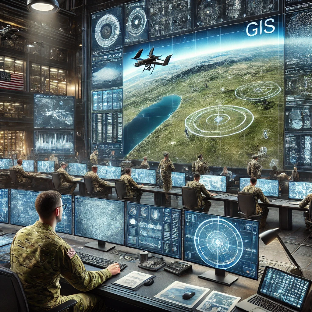
How GeoDefense Can Strengthen Organizations
In complex and rapidly changing environments, it is essential to be able to make quick and well-informed decisions. GeoDefense makes this possible by combining geographic information with operational data. Using location data and geospatial analyses creates a clearer picture of the terrain, infrastructure, and potential risks.
Some applications of GeoDefense include:
- Terrain analysis: By analyzing geographic data, organizations can gain better insight into terrain structures, infrastructure, and logistics routes.
- Situational awareness: Geospatial data helps create an up-to-date and clear picture of an area of operations, allowing situations to be assessed more quickly.
- Operational planning: GIS supports mission planning, the identification of strategic locations, and risk analysis.
By utilizing geospatial data, organizations can:
- Gain better insight into complex operational environments.
- Respond more quickly to changing circumstances.
- Support decision-making with spatial analysis and data.
Effectively deploying GeoDefense requires knowledge of geodata, analysis, and GIS technology. With the right skills, organizations can strengthen their information position and better support operations.
The technology behind GeoDefense
The technology behind GeoDefense is based on advanced geospatial systems and data sources. Geographic Information Systems (GIS) form the core of this. GIS enables the collection, analysis, and visual presentation of large amounts of geographic data, providing insight into complex situations.
Some key technological components include:
Satellite and aerial imagery: High-quality imagery makes it possible to monitor changes in the terrain and obtain up-to-date information about areas.
Sensor and drone data: Modern sensors and UAVs provide detailed data that can be used for observation, analysis, and monitoring.
In addition, other technologies also play an important role:
Spatial analysis: Analyzing geographic patterns and relationships to support strategic decisions.
Combining various data sources, such as map data, infrastructure data, and real-time sensor data.
By combining these technologies, organizations can:
- Identify patterns and changes in the terrain more quickly.
- Make better decisions based on location intelligence.
- Visualize and analyze complex situations.
The power of GeoDefense lies in the effective combination of data, technology, and analysis. With the right knowledge and tools, geospatial systems can play a crucial role in supporting operations and enhancing situational awareness.
With Geo-ICT’s Intro GIS and Defense course, you will develop the knowledge and skills to effectively apply these technologies. This will lay a solid foundation for working with geospatial information in defense, security, and crisis environments.