At Geo-ICT, we understand that the needs and interests of GIS professionals and enthusiasts can vary greatly. That’s why we offer a wide and diverse range of GIS courses, so there’s always something that perfectly suits your needs. Whether you’re just getting started with GIS or want to take your skills to the next level, our courses offer both the breadth and depth you need. Here are some highlights from our offerings:
Each course is designed to provide practical knowledge and skills that can be directly applied to your work or studies. At Geo-ICT, we ensure that you learn from experienced professionals who provide you not only with the tools but also the insights to enrich and accelerate your career in GIS. Our goal is to empower you with the knowledge you need to succeed in the ever-changing world of geographic information systems.
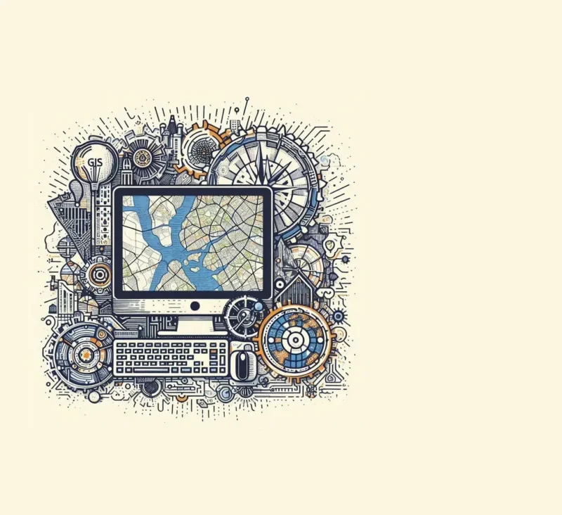
Practical Applications of GIS
GIS has had a revolutionary impact on the way we analyze data and make decisions across a wide range of sectors. From urban planning to environmental science, the practical applications of GIS are both diverse and transformative. Here are some ways GIS is put into practice:
- Urban and Spatial Planning: GIS helps planners and engineers design urban infrastructure—from roads and bridges to residential neighborhoods—by incorporating geographic data and demographic information.
- Environmental Management and Conservation: Environmental scientists use GIS to monitor ecosystems, track pollution, and develop conservation strategies.
- Disaster Management and Emergency Planning: During natural disasters, GIS provides crucial information for evacuation routes, risk analyses, and the coordination of emergency services.
- Agriculture: Farmers and agronomists use GIS for precision agriculture, optimizing soil quality, crop rotation, and irrigation systems.
- Healthcare: GIS plays a key role in epidemiology by mapping the spread of diseases and planning healthcare services more efficiently.
- Logistics and Transportation: GIS has become indispensable in the logistics sector for optimizing routes and improving distribution efficiency.
These examples demonstrate how essential GIS has become in our daily lives and in the decision-making processes of organizations worldwide. GIS allows us to better understand and solve complex issues with a spatial dimension, leading to smarter, more informed decisions. It is clear that the skills to use GIS effectively are invaluable in the modern world, making a thorough knowledge of GIS not only desirable but necessary for professionals in virtually every industry.
The Future of GIS and Technological Advancements
The future of GIS looks promising, with the ongoing development of new technologies transforming the way we collect, analyze, and use geographic information. We are on the cusp of exciting breakthroughs that will make GIS even more powerful and accessible to a wider audience. Here are some developments we can expect:
- Integration with AI and Machine Learning: These technologies make it possible to identify complex patterns and trends in large datasets, improving the precision and effectiveness of geospatial analyses.
- Enhanced Remote Sensing Capabilities: Satellite imagery and drone technologies are becoming increasingly advanced, allowing us to make more detailed and frequent observations of the Earth.
- Growth of Location-Based Services (LBS): With the proliferation of smartphones and other wearable devices, LBS will become an even more integral part of our daily lives, with applications ranging from navigation to personalized marketing.
- Open Source and Collaborative Platforms: The accessibility of GIS is being enhanced by the emergence of open-source platforms that foster collaboration and innovation within the community.
- Augmented Reality (AR) and Virtual Reality (VR): These technologies offer new ways to visualize and interpret geographic data, making complex spatial information more understandable to a broader audience.
- Sustainability Initiatives: GIS plays a crucial role in supporting sustainability efforts by optimizing the management of natural resources and minimizing environmental impact.
These developments promise a future in which GIS is not only essential for professionals in the field but also plays a key role in informing and shaping policy, business strategies, and daily decisions. The ability to effectively use and interpret spatial information will become increasingly important, making a thorough understanding of GIS indispensable for anyone who wants to prepare for the challenges and opportunities of tomorrow.
Mastering Geographic Information Systems (GIS) can be a game-changer in your professional life. In an era where data forms the backbone of decision-making processes, GIS enables you to understand and solve complex spatial issues, giving you a significant edge in various fields. Whether you work in environmental science, urban planning, or logistics, the demand for GIS expertise is greater than ever.
Learning GIS technologies can not only help you perform your current job better but also open doors to new career opportunities. With GIS, you can visualize and analyze data in ways that were previously impossible, enabling you to make insightful and impactful decisions. This makes you a valuable asset to any organization, as you can help solve some of the most pressing problems of our time, from climate change and natural disasters to urban development and public health.
Furthermore, GIS is no longer just for geographers. It is used in healthcare, marketing, real estate, and even in the financial sector to analyze trends and make predictions. This means that regardless of your background or interests, learning GIS can help you redefine your career path or strengthen your current position.
Taking a course or program in GIS at an accredited institution like Geo-ICT can equip you with the necessary skills and knowledge to apply this technology effectively. And as the technology continues to evolve, your ongoing commitment to learning and adapting will ensure your skills remain relevant and in demand.
In short, GIS has the potential to transform not only the way we view data, but also your career. By mastering this powerful tool, you’ll make yourself indispensable in an increasingly data-driven world.