Multispectral satellite imagery provides detailed spectral data analysis that is essential for precision agriculture and environmental protection. This technology makes it possible to detect subtle changes in vegetation, water quality, and soil conditions, which is crucial for informed decision-making across various sectors.
Multispectral satellite imagery provides unparalleled insights into land use and environmental protection through detailed spectral data analysis. This technology enables Geo-ICT professionals to detect subtle changes in vegetation, water quality, and soil conditions that are invisible to the naked eye. This makes multispectral imaging a powerful tool for precision agriculture, urban planning, and environmental protection. By capturing different spectral bands, these images can provide detailed information that is essential for monitoring ecosystems and making informed decisions.
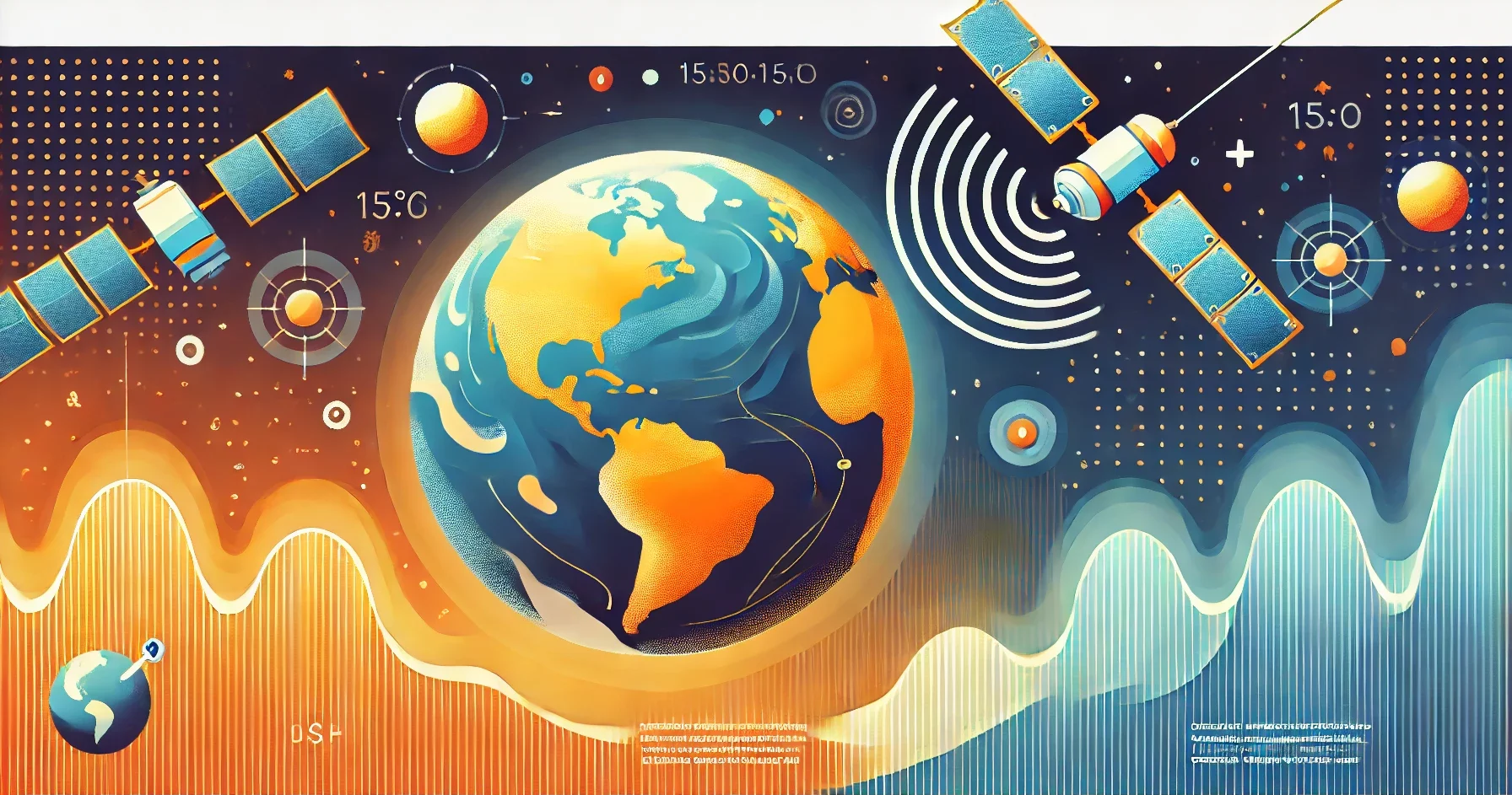
Multispectral satellite images are images captured across different spectral bands of the electromagnetic spectrum. While humans can only perceive visible light, multispectral cameras can capture information in both visible and non-visible bands, such as infrared and ultraviolet. These images are created by sensors that detect and measure specific wavelengths of light. This allows us to obtain detailed information about the Earth’s surface that would otherwise be invisible.
Multispectral imaging is widely used in various fields, ranging from agriculture and environmental monitoring to urban planning and disaster management. By combining multiple spectral bands into a single system, scientists and professionals can identify subtle changes in vegetation, water quality, and soil conditions. This is essential for making informed decisions.
Multispectral satellite images are of great importance due to their ability to provide detailed and versatile information about the Earth’s surface. They play a crucial role in precision agriculture. Here, they help optimize water use, detect diseases and pests early, and maximize crop yields. In urban planning, these images provide detailed information that helps planners manage urban growth and preserve green spaces.
In addition, multispectral images are essential for environmental protection, as they help monitor deforestation, detect water pollution, and track the effects of climate change. This detailed data enables policymakers to make informed decisions to protect our natural resources.
These applications fall under the broader discipline of Remote Sensing. This involves collecting data about the Earth’s surface without direct contact. This is typically done using satellites or aircraft that detect and measure electromagnetic radiation.
Multispectral satellite imagery has a wide range of applications that are transforming various sectors.
Multispectral satellite imagery plays a crucial role in precision agriculture by providing detailed information on crop health and soil conditions. These images help farmers optimize their water use, identify diseases and pests early on, and maximize crop yields. By capturing different spectral bands, multispectral satellites can detect subtle differences in vegetation that are invisible to the naked eye.
For example, the use of the Normalized Difference Vegetation Index (NDVI) and other vegetation indices derived from multispectral data enables farmers to accurately monitor the growth and health of their crops. This type of technology not only supports decision-making at the field level but also provides valuable insights for the long-term planning and management of farms.
By integrating multispectral imagery into agricultural processes, farmers can work more efficiently while contributing to sustainable agricultural practices. The use of advanced technologies such as these is becoming increasingly important for ensuring food security and conserving natural resources.
Multispectral satellite imagery plays an essential role in urban planning by providing accurate and detailed data on land use and land cover. This technology enables urban planners to monitor infrastructure developments, manage green spaces, and efficiently plan urban expansion. By utilizing different spectral bands, multispectral satellite images can distinguish between various types of urban surfaces, such as roads, buildings, and vegetation.
A key advantage of these images is their ability to track changes in urban areas over time. This helps planners understand trends in urban growth and make strategic decisions regarding future developments. Furthermore, multispectral data supports environmental impact management by assessing the impact of urban expansion on natural resources and ecosystems.
By integrating multispectral satellite imagery into urban planning processes, planners can not only accurately map the current situation but also proactively plan for sustainable urban growth and environmental management.
Multispectral satellite imagery plays a crucial role in environmental protection by providing detailed data on natural resources and environmental issues. This technology makes it possible to monitor changes in the landscape, such as deforestation, water quality, pollution, and climate change. By using different spectral bands, these images can detect subtle changes in vegetation and water bodies, which is essential for the conservation of ecosystems.
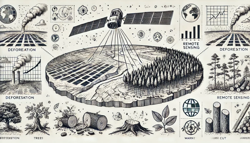 One of the most important applications is the detection and monitoring of water bodies and floods. Multispectral imagery can quickly and accurately identify the extent of flood-affected areas. This enables emergency response teams to respond more effectively and communities to be better protected. Additionally, these images help detect pollution in water bodies by identifying and managing pollution sources.
By integrating multispectral satellite imagery into environmental protection strategies, governments and organizations can make data-driven decisions to better manage natural resources and mitigate environmental damage. This technology offers a powerful tool for minimizing the impact of human activities on the environment and promoting sustainable development.
Multispectral imaging provides detailed and versatile data by utilizing various spectral bands and advanced algorithms. In the following sections, we discuss key aspects such as satellite image resolution and the algorithms used to process this data.
Satellite image resolution is crucial for the accuracy and usability of the data. There are four main types of resolution: spatial, spectral, radiometric, and temporal resolution.
By combining these resolutions, satellite images provide detailed and versatile information for various applications.
Data processing algorithms are essential for analyzing and interpreting multispectral satellite images. These algorithms help convert raw data into usable information through various processes such as image enhancement, classification, and segmentation.
One of the most commonly used techniques is deep learning, specifically convolutional neural networks (CNNs). These algorithms are effective at recognizing and classifying objects in satellite images. For example, U-Net, a type of CNN, has been adapted to segment multispectral images by preserving high-resolution information while adding contextual information. This makes it possible to generate accurate maps of, for example, vegetation cover or urban structures.
In addition, super-resolution algorithms are used to improve the quality of low-resolution images. By utilizing techniques such as convolutional neural networks, these algorithms can add detail and increase the resolution of multispectral images without the additional cost of new hardware.
These advanced data processing methods improve the accuracy and applicability of multispectral satellite images. This makes them a powerful tool for applications in environmental protection, urban planning, and precision agriculture.
Multispectral satellite imagery is revolutionizing the way we observe and manage the Earth. They provide unparalleled detail about the Earth’s surface by utilizing different spectral bands and advanced data processing algorithms. This technology plays a crucial role in sectors such as precision agriculture, where farmers can maximize their yields through early detection of diseases and pests. And in urban planning, where planners gain detailed information to manage sustainable urban growth.
In addition, multispectral satellite imagery is indispensable for environmental protection. It helps monitor deforestation, detect water pollution, and track the impact of climate change. This detailed data enables policymakers and researchers to make informed decisions to protect our natural resources.
The combination of high spatial, spectral, radiometric, and temporal resolution makes these images a powerful tool for various applications. Whether it involves optimizing agricultural practices, planning urban areas, or protecting the environment, multispectral satellite imagery provides the accurate and detailed information needed for data-driven decisions.