In our rapidly changing world, GIS is driving a crucial evolution in healthcare. This Geographic Information System is transforming how we address healthcare challenges, from epidemic management to more efficient planning of healthcare services.
For example, with GIS and AI, healthcare workers can map outbreaks, policymakers can plan healthcare services, and researchers can analyze disease patterns. Thanks to GeoAI, the possibilities are even more extensive.
From spatial data analysis to healthcare cartography, GIS plays a crucial role in better decision-making and more efficient care, which ultimately saves lives.
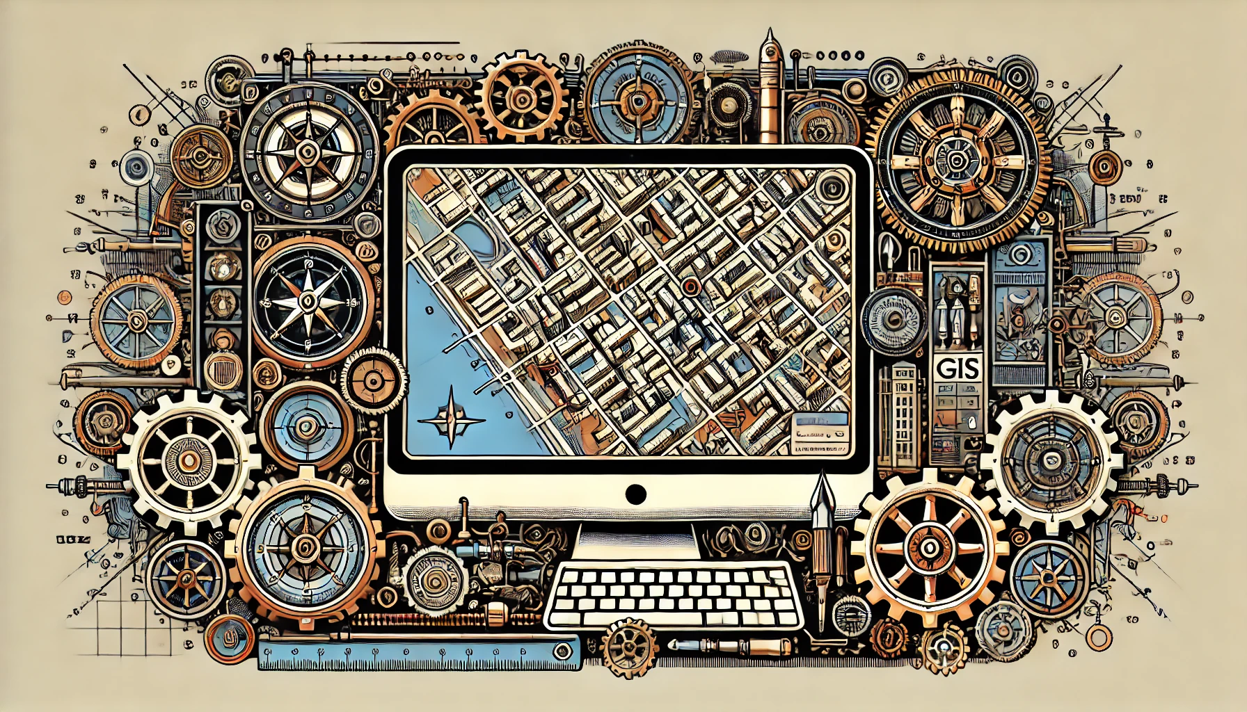
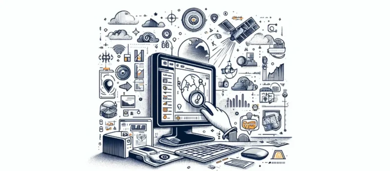
Now that you’ve read about how GIS can impact healthcare, let’s explore its core principles. GIS and GeoAI offer a revolutionary way to visualize, analyze, and interpret health data.
GIS analysis is at the heart of Geographic Information Systems, where spatial data is not only collected and displayed. The data is also examined to discover patterns, relationships, and trends. These analyses are useful for understanding complex health issues within and between communities.
Imagine you have a map showing disease locations. Using software such as QGIS or ArcGIS, you can add layers, such as population density and socioeconomic status. This gives these points meaning and provides insight into risk factors and resource management.
GIS analysis helps us plan proactively by showing not only where diseases occur, but also why, how they spread, and how we can stop them. This insight is essential for policymakers, healthcare workers, and researchers.
In addition, GIS analysis has predictive power. By combining historical and current data, we can predict outbreaks, identify risk zones, and even map the impact of climate change on health.
Importantly, GIS analysis democratizes data. This gives policymakers and citizens alike access to valuable insights to make better decisions about their health and environment.
GIS in healthcare offers a wealth of applications that are radically changing the way we approach health and well-being. GIS not only provides insight into the current state of healthcare; it also helps address future challenges. Let’s explore some of these applications and their benefits.
A key application is in epidemiology. Researchers are able to track disease spread in real time, identify high-risk areas, and assess the effectiveness of preventive measures. During health crises, such as pandemics, rapid and accurate information can save lives by enabling targeted interventions.
Healthcare planning and management also benefit greatly from GIS. By analyzing the geographic distribution of healthcare facilities in relation to population density and demographics, we can better determine where there are healthcare shortages and where resources can best be allocated.
In addition, GIS makes it possible to investigate social determinants of health. By linking data on education, income, and living conditions to health outcomes, policymakers are able to address the causes of health problems more effectively rather than just the consequences.
GIS also offers opportunities for patient engagement. Through interactive maps, patients can see how their environment affects their health and where they can find the best care. This increases their involvement in their own care process.
Finally, GIS contributes to global health initiatives by analyzing data on a global scale, enabling us to better understand how diseases spread across borders and to prevent global health crises.
GIS in healthcare is a revolutionary tool that is transforming our healthcare systems, improving care, and saving lives. By leveraging geographic information, we can address health challenges in an informed and inclusive manner.
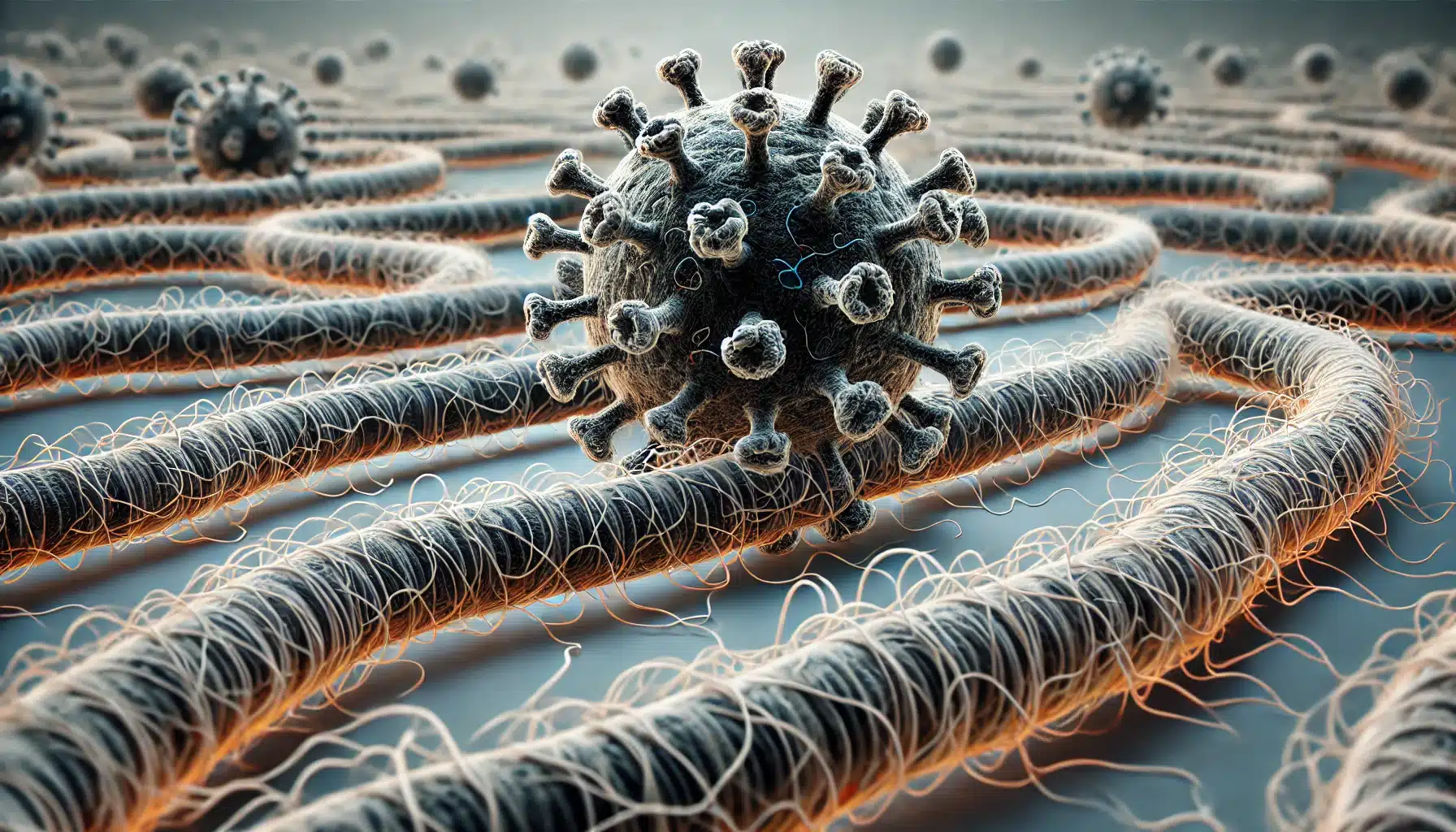
In the world of epidemiology, GIS plays a crucial role in understanding and combating diseases. GIS’s ability to geographically visualize and analyze health data makes it an indispensable tool in the fight against infectious diseases and chronic conditions. Let’s explore how GIS is transforming epidemiology and what benefits this offers.
GIS enables epidemiologists not only to track the spread of diseases but also to identify the underlying factors. By correlating disease cases with environmental, socioeconomic, and demographic data, researchers can uncover patterns that would otherwise remain invisible. This is essential for developing effective prevention and intervention strategies.
For example, during the Zika virus outbreak, GIS helped health organizations identify high-risk areas by linking the spread of the virus to the presence of the Aedes mosquito. This led to targeted control efforts and prevention campaigns.
Another key benefit is the ability to conduct real-time surveillance. GIS provides a platform for continuous monitoring of health data, enabling authorities to respond quickly to outbreaks and minimize the spread of diseases.
GIS also promotes international cooperation. Through shared GIS platforms, countries can exchange data and insights to jointly address global health challenges. In a globalized world, this is invaluable.
Furthermore, GIS enables personalized medicine by integrating genetic and geographic data. This leads to targeted treatments and prevention strategies tailored to the unique needs of individuals and communities.
Finally, GIS improves public health communication by providing tailored recommendations for specific regions and population groups. This increases the effectiveness of health messages and promotes greater engagement and compliance.
The impact of GIS on health policy and planning is profound and transformative. In an era of increasing complexity in healthcare, GIS offers a powerful way to turn data into actionable insights. The use of GIS is changing how decisions are made and how health services are delivered and optimized.

A key contribution of GIS is the improvement of decision-making. Geographic analyses help policymakers and planners determine where health services are needed and how resources can best be allocated. This leads to more effective health policies and better access to care.
GIS strengthens strategic planning for health services. By analyzing existing facilities in relation to population density and demographics, planners can identify new locations to meet healthcare demand, ensuring a more efficient use of resources.
In addition, GIS enables health organizations to develop flexible health programs that align with the needs of specific communities. By identifying areas with high disease incidence, interventions can be tailored to local factors, increasing their effectiveness.
Emergency planning and response also benefit from GIS. During epidemics or natural disasters, GIS provides essential information about affected areas and the location of critical infrastructure, enabling rapid and targeted responses.
Finally, GIS promotes public engagement and transparency. By making health data accessible, citizens become better informed and more engaged in health issues and initiatives.
Let’s look at a few case studies that illustrate the impact of GIS on health policy and planning. These real-world examples demonstrate how versatile GIS is and how it contributes to public health worldwide:
These case studies demonstrate the power of GIS to provide insights into complex health issues, coordinate interventions, and develop prevention strategies. GIS offers health professionals and policymakers a powerful tool to improve the health of populations worldwide and address health challenges.
The future of GIS in healthcare looks incredibly promising, with innovations that have the potential to further transform our approach to health management and disease prevention. As we look ahead, we see a horizon full of possibilities where advanced technologies, such as artificial intelligence (AI) and machine learning, are integrated with GIS to provide even deeper insights and predictions. This synergy promises a new era of personalized medicine, more efficient healthcare systems, and more effective public health interventions.
One exciting innovation is the integration of AI with GIS for predicting disease outbreaks. By analyzing patterns in historical health data, AI algorithms can predict future outbreaks with astonishing accuracy. This would enable health authorities to take preventive measures before an outbreak occurs, significantly reducing its impact on society.
Another area of innovation is the development of mobile GIS applications that allow individuals to monitor their own health data and that of their surroundings. For example, these apps can provide real-time information on air quality, pollen concentrations, or the spread of infectious diseases in the neighborhood. This not only raises awareness of health risks but also empowers people to take proactive steps to protect their health.
Wearable technology, linked to GIS, also opens up new avenues for health monitoring and intervention. Imagine that your smartwatch not only counts your steps or measures your heart rate, but also collects data on your exposure to various environmental factors. Combined with GIS, this data can provide valuable insights into personal health risks. These insights can lead to personalized recommendations for lifestyle adjustments.
In the field of urban planning and public health, the application of GIS in combination with urban modeling techniques promises to create healthier living environments. By analyzing the effects of urban design on public health, planners can develop cities that promote physical activity, facilitate access to healthy food, and reduce exposure to harmful substances.
The future of GIS in healthcare is likely to be characterized by an emphasis on collaboration and data sharing across sectors and disciplines. This would lead to a holistic approach to healthcare, integrating economic, social, and environmental aspects into health policy.
The future of GIS in healthcare offers unprecedented opportunities to make care more proactive, patient-centered, and efficient. By integrating technologies such as AI and mobile applications, GIS can transform healthcare and contribute to a healthier world for everyone.