

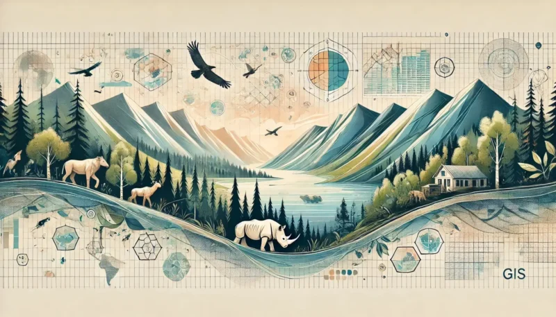

GIS, or Geographic Information Systems, is a technology that allows us to collect, manage, analyze, and visualize spatial and geographic data. It is used in various sectors for mapping, spatial analysis, and decision-making processes.
GIS stands for Geographic Information Systems. These are powerful tools that enable the collection, management, and analysis of geographic data. They combine different types of data to create maps and visualizations that reveal complex geographic patterns and relationships. GIS technology is widely used in sectors such as urban planning, environmental management, transportation, and marketing to solve problems and make more informed decisions.
Geographic Information Systems (GIS) are essential tools for collecting, managing, and analyzing geographic data. These systems combine different types of data to create maps and other visualizations that reveal complex geographic patterns and relationships. GIS technology is used across various sectors to solve problems and support decision-making—from urban planning and environmental management to transportation and marketing
The power of GIS lies in its ability to integrate and analyze data from various sources, giving users insight into spatial relationships and trends. This makes it possible to monitor changes over time, determine optimal locations, and evaluate the impact of various factors on specific areas.
GIS is therefore not just a technical tool, but a powerful instrument that contributes to a better understanding of our world.
A Geographic Information System is a system designed to collect, manage, analyze, and display geographic data. It combines location data (where things are) with descriptive information (what these things are). This makes it possible to understand patterns, relationships, and geographic context. GIS is used in nearly every industry to create maps, perform analyses, share information, and solve complex problems.
GIS consists of various components, including hardware, software, data, people, methods, and procedures. It can integrate data from various sources, such as satellite imagery, tables, and maps. By overlaying this data onto a single map, users can better understand and visualize spatial relationships and trends.
For example, GIS can help you identify which homes are located in flood-prone areas, map the spread of diseases, or analyze the impact of urban development on the environment.
GIS helps users make better-informed decisions by enabling them to present data in a visually understandable way.
The importance of Geographic Information Systems (GIS) cannot be overstated. GIS has fundamentally changed the way we understand and analyze the world around us. Here are some of the key benefits and applications of GIS:
Through the power of GIS, organizations can not only visualize complex data but also gain deeper insights that would otherwise be difficult to discern. Whether it’s predicting the impact of new developments or managing resources, GIS offers a valuable tool for improving our world.
One of the greatest advantages of Geographic Information Systems (GIS) is the efficiency it offers in data management. GIS makes it possible to collect, store, manage, and analyze vast amounts of spatial data in a highly structured and organized manner.
Database Structure and Management: GIS uses various types of databases to store and manage data. The most common are relational databases (RDBMS), which store data in tables, and spatial databases (SDBMS), which are specifically designed for managing spatial data. These systems ensure efficient storage and rapid access to large amounts of data.
Improved data integration: GIS systems can integrate data from various sources, such as satellite imagery, demographic data, and climate data. This makes it possible to perform comprehensive analyses and gain insight into complex spatial relationships. By combining data on population density with environmental data, for example, planners can make better-informed decisions about urban development.
Efficiency in Work Processes: GIS improves efficiency in various work processes through automation and real-time data analysis. For logistics companies, for example, GIS can optimize route planning. This reduces travel times and saves on fuel costs. This not only leads to cost savings but also to a reduction in CO2 emissions, contributing to sustainability.
Better decision-making: By visualizing data in maps and dashboards, decision-makers can quickly and effectively gain insight into the current situation and identify potential problems. This accelerates the decision-making process and enables proactive responses to changes and challenges.
GIS thus plays a crucial role in improving the efficiency of data management. This leads to better performance, lower costs, and more informed decision-making across various sectors.
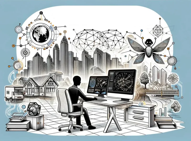
Geographic Information Systems (GIS) have a wide range of applications across various sectors, highlighting their versatility and utility. Here are some of the most prominent real-world applications of GIS:
 These applications demonstrate how GIS helps solve complex problems by providing detailed spatial analyses and visualizations, resulting in better-informed decision-making and more efficient management across various sectors.
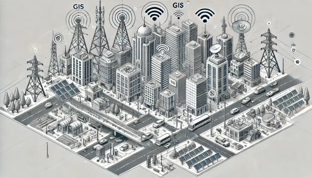
The future of Geographic Information Systems (GIS) is promising thanks to several innovative developments:
These trends make GIS an essential tool for future urban and environmental management.
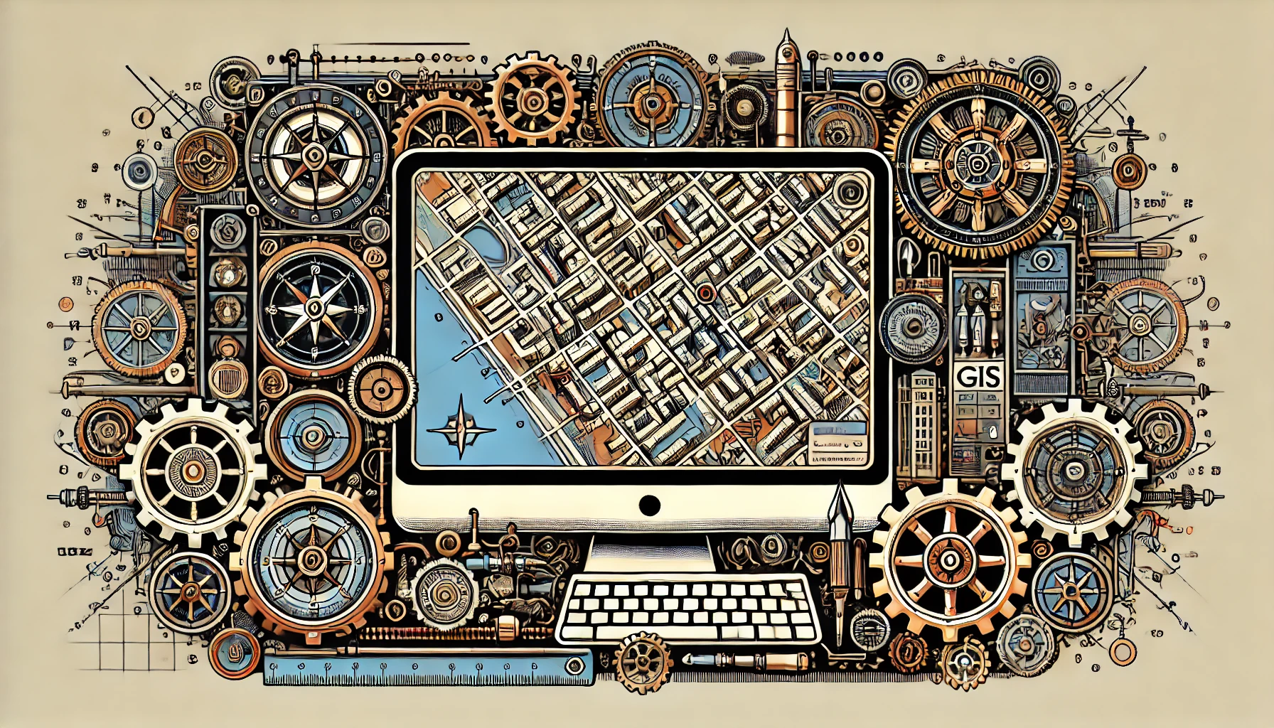
GIS plays a crucial role in various sectors, from urban planning to environmental management. Choosing the right GIS software can make a big difference in the efficiency and effectiveness of your projects. Here, we discuss two of the most popular GIS packages: ArcGIS and QGIS.
ArcGIS is a leading GIS software package developed by Esri. It is used worldwide for collecting, analyzing, and visualizing geographic data. With ArcGIS, you can perform complex spatial analyses, create maps, and manage geographic data. It offers extensive functionalities, including 3D visualization, geoprocessing, and real-time data analysis.
A key feature of ArcGIS is its ability to integrate data from various sources and present it in an understandable way. This makes it a powerful tool for decision-makers in various sectors such as urban planning, environmental management, and transportation. ArcGIS helps identify patterns and trends, leading to better-informed decisions and more efficient resource management.
Although ArcGIS is highly versatile and powerful, it is also paid software. This means that users must purchase a license to access the extensive features and support offered by Esri. This investment is often worthwhile given the capabilities ArcGIS offers for professional and accurate geographic analysis.
QGIS is a popular, free, and open-source GIS software used by professionals and hobbyists worldwide. It is designed to provide users with powerful tools for creating, editing, visualizing, and analyzing geospatial data. QGIS supports a wide range of operating systems, including Windows, macOS, and Linux. And it offers extensive functionalities comparable to commercial GIS software.
One of the biggest advantages of QGIS is its active community, which contributes to the software’s ongoing development and improvement. This community regularly develops new plugins and add-ons, further expanding QGIS’s functionality and adapting it to users’ needs.
QGIS is ideal for anyone looking for a cost-effective solution for geospatial analysis without compromising on functionality.
Geographic Information Systems (GIS) are essential for collecting, managing, and analyzing geographic data. They provide valuable insights and support more informed decision-making across various sectors, such as urban planning, environmental management, and transportation. GIS increases efficiency in data management and helps visualize complex spatial relationships. With ongoing technological advancements, GIS remains a crucial tool for understanding and improving our world. Interested in working with GIS? Check out our Geo-ICT traineeship—your springboard into the world of Geo-ICT!

GIS, or Geographic Information Systems, is a technology that allows us to collect, manage, analyze, and visualize spatial and geographic data. It is used in various sectors for mapping, spatial analysis, and decision-making processes.
Our courses are designed for aspiring GIS specialists, experienced GIS professionals, companies in the GIS sector, people seeking career transitions, and educational institutions looking to expand or refresh their knowledge of GIS.
Mastering GIS technologies can transform your career by increasing your employability across various sectors, such as urban planning, environmental science, and logistics. It equips you with the skills to analyze and visualize complex geographic data.
Yes, upon successful completion of your course, you will receive a certified certificate of completion. This certificate serves as recognition of the GIS skills and knowledge you have acquired.
GIS has a wide range of applications across various sectors. We offer courses tailored to specific industries and roles, enabling you to integrate GIS into your work, from data analysis to spatial planning.
Yes, we offer customized solutions specifically designed to meet your company’s needs. These can range from introductory courses to advanced applications of GIS technology.
A GIS operator manages, analyzes, and visualizes geographic data using GIS software, which combines geographic and attribute data to generate information and analyze spatial relationships.