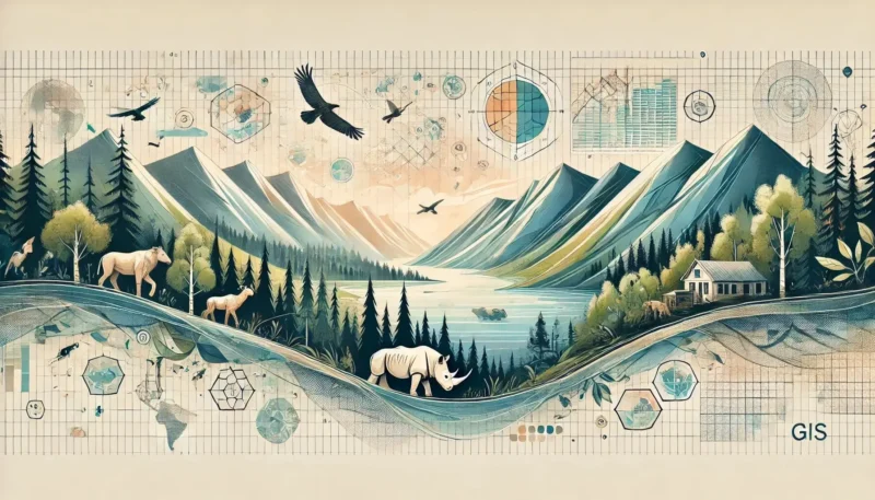
Drone technology has radically transformed the way we collect geographic data. These innovative tools offer unprecedented opportunities for professionals such as surveyors and environmental experts. Drones make it possible to collect data more accurately and efficiently than ever before, resulting in higher-resolution images and more detailed maps. And thanks to advanced technologies such as artificial intelligence and machine learning, drones can make autonomous decisions and adapt to dynamic environments, significantly increasing operational efficiency. In this article, we explore the latest trends and applications of drones within the geo-ICT sector, and how this technology is revolutionizing the way we understand our planet.
Drones have completely transformed the way we collect and analyze geographic data. Previously, mapping large areas required expensive aircraft and complex photogrammetric missions. Now, drones can achieve the same level of accuracy, but at a fraction of the cost and with far less logistical effort.
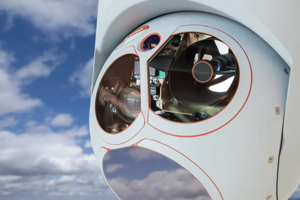
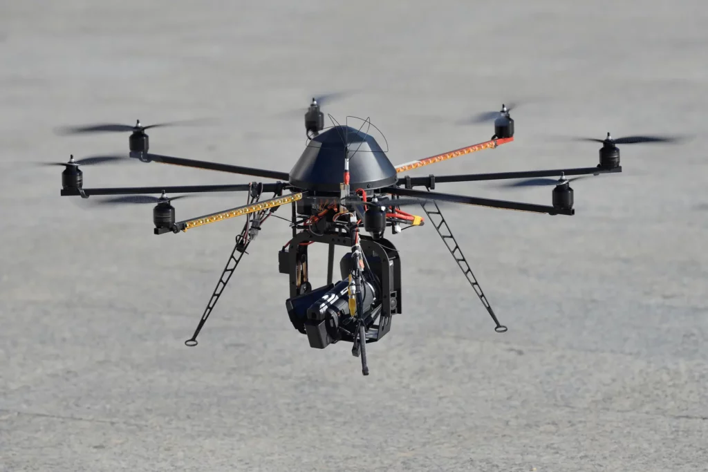
The versatility of drones makes them ideal for geographic applications. They can be equipped with various sensors such as LIDAR, thermal cameras, and RGB cameras, allowing them to collect multiple datasets simultaneously. This increases efficiency and significantly reduces costs. Thanks to advanced software, drones can operate fully autonomously, minimizing human error and accelerating data collection.
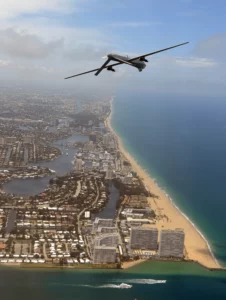
Drones also offer solutions for hard-to-reach areas, such as volcanoes and remote forests. They can create detailed 3D models of these areas, which is essential for ecological research and crisis management. The rise of drones in Geo-ICT is a clear game-changer, and the technology continues to evolve rapidly with ongoing investments and innovations.
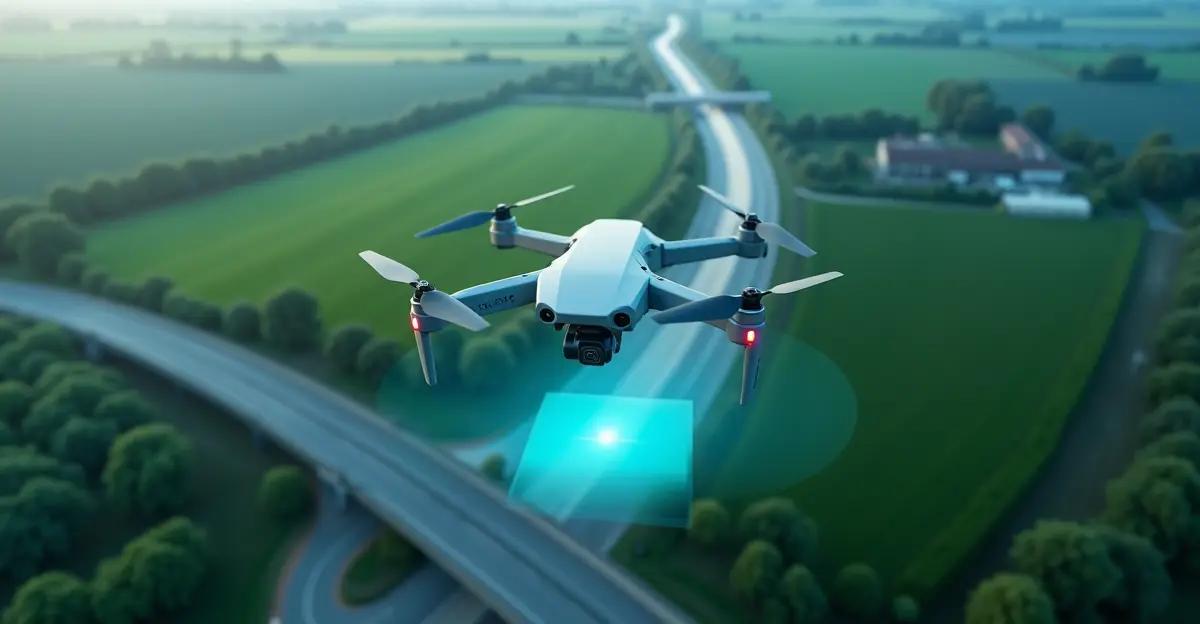
Drones offer significant advantages for collecting geographic data. One of the biggest advantages is the speed at which data can be collected. Drones equipped with high-resolution cameras and LiDAR sensors can map large areas in a fraction of the time compared to traditional methods.
In addition, drones are cost-effective. Traditional methods often require expensive manned aircraft and extensive logistics, while drones significantly reduce these costs through efficiency and accessibility. Furthermore, drones can easily survey hard-to-reach or dangerous areas, which increases safety and ensures that no area goes unchecked.
Drones equipped with high-resolution cameras and advanced sensors offer unprecedented accuracy and resolution in the collection of geographic data. Modern drones can capture images with a resolution of just a few centimeters per pixel, resulting in highly detailed and accurate maps and models. This high resolution is crucial for applications such as urban planning, agriculture, and environmental monitoring.
The accuracy of drones is further enhanced by the use of RTK (Real-Time Kinematic) and PPK (Post-Processed Kinematic) technology, which ensure precise geolocation of the collected data. This means that drones can create accurate 3D models that are essential for projects requiring detailed spatial information, such as infrastructure inspections and nature conservation. The accuracy is thus significantly better than, for example, when using satellite imagery; however, a Total Station will likely remain the preferred choice for now, particularly for dimensional measurements.
Drones also offer the ability to reach areas that are difficult to access using traditional methods, such as dense forests or rugged terrain. This not only increases efficiency but also minimizes the risks to personnel who would otherwise have to be physically present in dangerous or inaccessible areas.
This combination of high resolution and accuracy makes drones an indispensable tool in modern geographic data collection.
Using drones to collect geographic data offers significant cost savings compared to traditional methods. Drones eliminate the need for expensive manned aircraft and extensive logistical support, significantly reducing operational costs. These cost savings are particularly noticeable in large-scale projects where drones can cover vast areas in a single flight.
Additionally, the use of drones is more efficient. Traditional surveying methods often require a team of surveyors working on-site for days, while drones can collect the same data in a fraction of the time. This results not only in lower labor costs but also in faster project completion, which in turn further reduces total costs.
Drones also offer flexibility in hard-to-reach or hazardous areas, reducing the need for costly safety measures and minimizing risks to personnel. The ability to collect and analyze real-time data improves efficiency and decision-making, contributing to overall cost savings.
Drones have numerous applications within Geo-ICT, ranging from urban planning to environmental monitoring. They offer unparalleled capabilities for aerial photography, 3D modeling, and data collection in hard-to-reach areas.
Aerial photogrammetry uses drones to capture detailed aerial images that can be converted into accurate 3D models and maps. This technology is revolutionary for many sectors due to the combination of high-resolution imagery and advanced software.
Advantages of aerial photogrammetry with drones:
Applications of drone-based aerial photogrammetry:
Thanks to the versatility and accuracy of aerial photogrammetry using drones, we can work more efficiently and make better decisions based on detailed spatial data.
Environmental monitoring with drones offers countless benefits by collecting detailed and accurate data that is essential for the preservation of our ecosystems. Drones can be equipped with various sensors such as LIDAR, infrared cameras, and multispectral cameras, allowing them to measure a wide range of environmental indicators.
Benefits of drones in environmental monitoring:
Applications of drones in environmental monitoring:
The rise of drones in the field of Geo-ICT has revolutionized the way we collect and analyze geographic data. Thanks to their versatility and precision, drones offer unprecedented possibilities for applications such as aerial photogrammetry, environmental monitoring, and forest management. This technology has not only improved the accuracy and efficiency of data collection but has also significantly reduced costs by replacing traditional methods.
With continuous technological advancements and the integration of drones across various sectors, their applications and benefits will continue to grow. Drones are not only a cost-effective tool but also an essential instrument for accurate and efficient data collection in the modern world.
Are you inspired to work with drones? Maybe the Drone Surveying Basic Course is right for you!