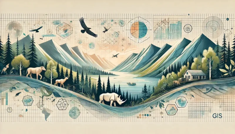
Geodata plays a much bigger role in our daily lives than you might think at first glance. Whether you’re using your phone to find the fastest route to work or an app to order food, geodata makes it all possible. This invisible force powers the maps and systems that help us navigate our physical world, but its applications go far beyond just route planning. Geodata also supports the development of smart cities, contributes to environmental protection, and is an essential tool in agriculture.
In addition, geodata helps make our cities safer and more efficient. Consider, for example, how traffic flows are managed or how cities prepare for natural disasters. Thanks to this technology, we can make better-informed decisions, both on a personal and societal level. In this article, you’ll discover why geodata has become indispensable in our modern society and how it influences our daily lives.
Geodata is all around us, even if we don’t always notice it. Whether you’re getting in the car to go to work or walking through the city, geodata plays a crucial role. This technology not only helps us travel faster and more efficiently, but also supports the development of smart cities. In the following sections, we explore how geodata influences our daily lives, from navigation and travel to urban management and infrastructure.
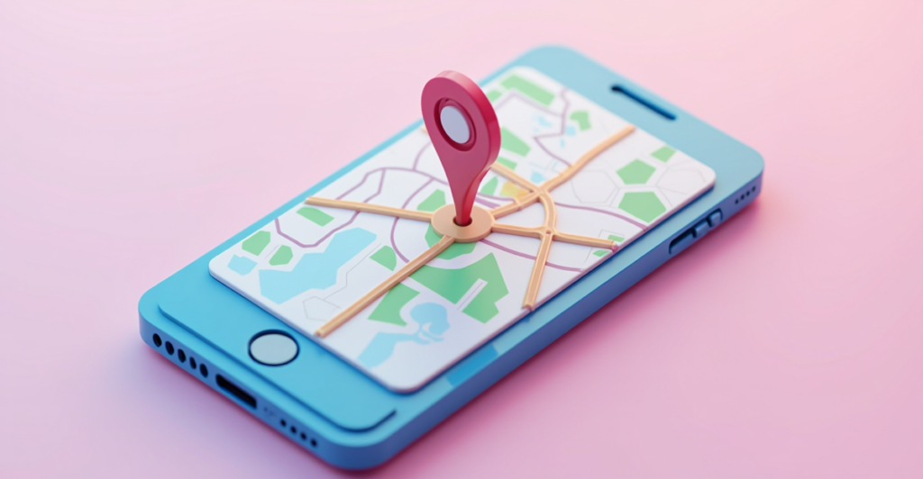
Navigation is perhaps the most recognizable example of how geodata makes our lives easier. Every time you open Google Maps to plan a route or turn on your GPS during a road trip, you’re relying on geodata. This data is constantly updated to ensure you always get the most efficient route, even with sudden changes like traffic jams or roadwork.
But geodata goes beyond just finding the fastest route. It also helps manage traffic flows, so you spend less time in traffic and save fuel. This not only contributes to a smoother travel experience but also to better air quality and fewer traffic jams in cities.
In addition, navigation apps play a crucial role in traffic safety. They warn you about dangerous roads, sharp turns, or unexpected obstacles. Furthermore, many apps integrate geodata with real-time information, such as weather conditions, to make your trip even safer. Whether you’re planning a long trip or running a quick errand, geodata makes your drive easier, safer, and more environmentally friendly.
Smart cities are the result of how geodata is used to improve our living environment. With advanced technologies, cities can be managed more efficiently, which significantly improves both daily life and urban infrastructure. Cities use geodata to regulate traffic, energy consumption, and waste management, leading to a more sustainable and pleasant living environment.
For example, geodata helps urban planners predict growth patterns and plan infrastructure projects more effectively. This allows traffic bottlenecks to be prevented, new neighborhoods to be better integrated, and green spaces to be preserved. Additionally, smart traffic lights, which respond to real-time traffic data, ensure smoother traffic flow and fewer traffic jams.
Another important aspect is monitoring air quality. Using sensors that collect geodata on pollution levels, cities can take targeted measures to reduce air pollution and promote health. Furthermore, smart energy grids, which utilize geodata, contribute to a more efficient distribution of energy sources, leading to lower costs and less waste.
Geodata also proves its value in emergency situations. During natural disasters or other crises, geodata can be used to determine the fastest evacuation routes and efficiently guide emergency services to the right locations. In this way, geodata makes cities safer, more sustainable, and more livable for the future. For an in-depth understanding of how geodata and IoT contribute to monitoring and optimizing urban environments, consider our geodata monitoring course.
Smart cities are no longer a distant vision of the future, but a reality that continues to evolve thanks to geodata.
Geodata plays an indispensable role in protecting our planet. From monitoring climate change to optimizing agricultural production, geodata provides us with the tools to address environmental issues more effectively. In the following sections, we’ll explore how geodata contributes to climate change mitigation, environmental protection, and improved agricultural practices.
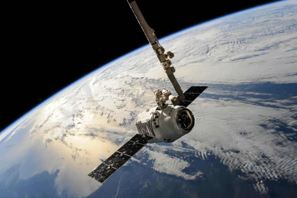
Climate change is one of the greatest challenges of our time, and geodata plays a crucial role in combating this threat. Thanks to satellites and sensors, we continuously collect data on temperature changes, sea level rise, and the melting of ice caps. This information helps scientists improve climate models and make more accurate predictions.
In addition, geodata makes it possible to monitor environmental pollution in real time. This enables governments and organizations to intervene more quickly in the event of harmful changes in air or water quality. Would you like to learn more about the use of geodata in soil research? Then check out the geodata soil research course.
Geodata is playing an increasingly important role in how we manage our agriculture and produce food. Using remote sensing techniques—such as satellite imagery and sensors—farmers can identify which parts of their land need more water, fertilizers, or attention. These precision agriculture techniques not only help maximize yields but also enable more efficient use of resources, leading to less waste and lower costs.
In addition, geodata enables the early detection of diseases and pests. By remotely monitoring changes in crops, farmers can intervene quickly and prevent further spread. This not only reduces the use of chemical pesticides but also protects biodiversity.
Furthermore, geodata plays a crucial role in the food supply chain. From tracking crops as they grow to optimizing transport routes, geodata helps at every step to reduce food waste and ensure freshness. Thanks to this technology, we can make global food production more sustainable and effective, which is essential at a time when demand for food continues to grow.
Geodata has become indispensable in our daily lives, even though we often don’t notice it right away. From navigation to smart cities and from environmental protection to agriculture, geodata is the driving force behind many of the technologies and processes that keep our world running. By providing accurate and up-to-date data, geodata helps us make better decisions, work more efficiently, and live more sustainably.
As the world continues to change, the role of geodata will only become more important. Whether it’s tackling climate change, ensuring food security, or improving our cities, geodata provides the insights and tools we need to meet these challenges. It is a technology that continues to evolve, and with every new development, we gain more opportunities to improve our living environment.
In the future, smart applications of geodata will continue to contribute to a more sustainable, safer, and more efficient world. It is clear that geodata is not only a technology of today but also of tomorrow, and will remain an essential part of our modern society.