Interested in taking a QGIS course or training program?

What is QGIS and why is it essential?

QGIS Training and Courses

QGIS has become one of the most important geographic information systems in Europe. The open-source GIS platform is used worldwide for map production, spatial analysis, data visualization, and geodata management. Governments, research institutions, and businesses use QGIS to gain insight into spatial issues and support decision-making.

With our QGIS training programs, you’ll learn how to analyze, visualize, and combine geodata with other data sources. From basic map editing to advanced spatial analysis: QGIS provides a powerful foundation for modern Geo-ICT applications.
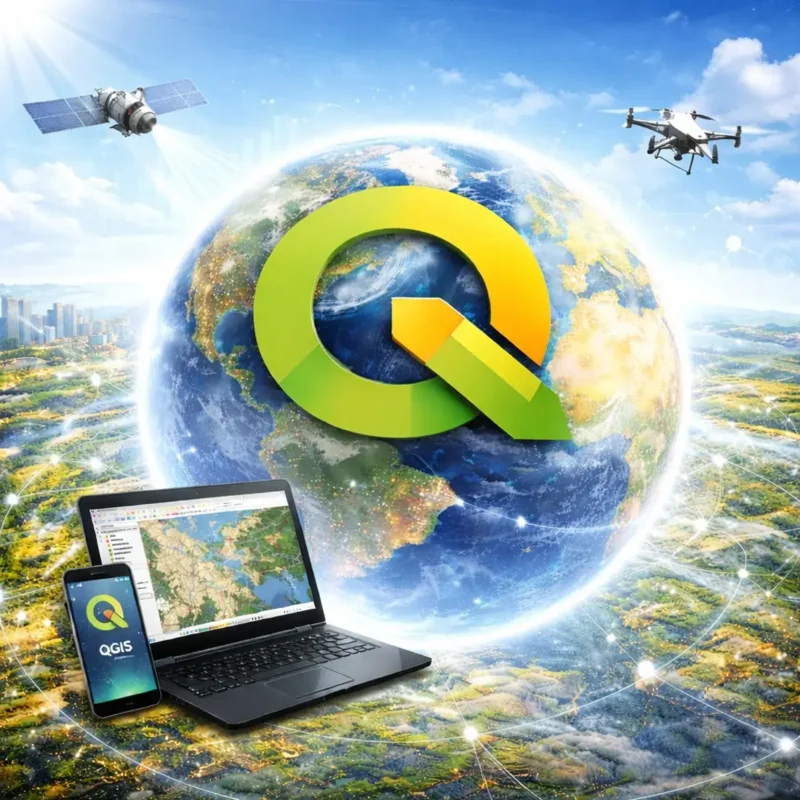
What is QGIS?

QGIS is an open-source geographic information system that allows you to view, edit, analyze, and publish geographic data. The platform supports a wide range of data types, including vector and raster data, web services, and database connections.

Thanks to its open architecture and a large ecosystem of plugins, QGIS can be extended with specialized functionality for applications such as remote sensing, climate research, geostatistics, or network analysis.

QGIS is developed by an international community of developers, researchers, and GIS specialists and is used worldwide in government, science, and business.

Why is QGIS important?

The role of QGIS has grown significantly in recent years. In Europe, it is increasingly seen as a strategic alternative to commercial GIS software such as ArcGIS.

There are several reasons for this. First, QGIS offers complete transparency because its source code is open. Additionally, it prevents dependence on a single software vendor and allows organizations to develop their own extensions.

At a time when Europe is increasingly focusing on digital and technological autonomy, open-source software plays an important role. QGIS aligns well with this trend and is viewed by many European organizations as a robust and future-proof GIS platform.

That is why QGIS is now widely used for:

  • spatial analysis and map production
  • urban planning and infrastructure
  • climate and environmental analysis
  • data integration and open geodata
  • scientific research and education

QGIS in the European Geo-ICT world

QGIS has established a strong position within Europe. Governments, universities, and companies are increasingly using the system as their standard GIS environment. The active open-source community ensures continuous innovation and rapid development of new functionalities.

Thanks to the combination of powerful analysis tools, open standards, and a growing ecosystem, QGIS is now an important part of the European geodata infrastructure.

Our QGIS courses help professionals effectively apply this technology within their own organizations and projects. From beginners to advanced GIS specialists, the courses offer practical and in-depth training in working with QGIS.

Why choose a QGIS course or training program at Geo-ICT?

Choosing a surveying course or program at Geo-ICT means equipping yourself with the knowledge and skills that are essential in a rapidly changing world. At Geo-ICT, you not only gain access to the latest technologies and software used in the industry, but you also learn from experienced professionals who share their practical expertise with you.

Our courses are designed to provide you with both theoretical and practical training, giving you a head start in your career. Whether you’re a beginner or looking to deepen your knowledge, at Geo-ICT we help you reach your full potential and prepare you for the future of geodesy.

Diversity in our course offerings

At Geo-ICT, we understand that QGIS is much more than just a GIS package. It is a powerful and flexible open-source platform for viewing, editing, analyzing, and visualizing geodata. Our goal is to equip you with the knowledge and skills needed to apply QGIS professionally within your field. Whether you’re just starting out with GIS, already have experience with another system like ArcGIS, or want to use QGIS for specializations such as climate, 3D, Python, or fieldwork: with our wide range of QGIS courses, you can develop your skills in a targeted way. Each course is designed to be practical, with plenty of hands-on exercises that you can immediately apply in your work or projects. We offer QGIS courses for users, professionals, and specialists.

QGIS Courses for Users

For users who want to get to know QGIS and get started right away, we offer accessible courses that focus on the basics of working with geoinformation. You’ll learn how to consult maps, edit data, combine layers, and perform analyses in a modern open-source GIS environment. For this audience, we offer the following courses:

QGIS courses for professionals

For professionals who want to use QGIS more extensively in their daily work, we offer in-depth courses. Here, you’ll learn more advanced techniques for analysis, visualizations, and thematic applications. These courses are suitable for GIS specialists, policy staff, analysts, and other professionals who want to get more out of QGIS.

QGIS Courses for Specialists and Developers

For those who want to expand, automate, or combine QGIS with new technologies, we offer specialized courses. In these training sessions, you’ll learn how to use QGIS with Python, AI, and other advanced applications. This will help you develop skills to accelerate processes, deepen analyses, and build your own solutions.

The Technological Evolution of QGIS

The development of QGIS is a prime example of how rapidly the Geo-ICT world is changing. Whereas GIS used to be available only through expensive and proprietary software packages, QGIS has evolved into a mature and professional open-source alternative. Thanks to the combination of powerful analysis capabilities, support for open standards, and an active international community, QGIS is widely used today in government, business, education, and research.

QGIS enables users to combine vector and raster data, link data sources, design maps, and perform complex spatial analyses. In addition, the ecosystem continues to grow with plugins and integrations for topics such as remote sensing, 3D visualization, fieldwork, Python automation, and GeoAI. As a result, QGIS is not only a tool for cartographers but also for data analysts, developers, and policy professionals.

The importance of QGIS has also grown significantly in Europe. At a time when digital independence and control over one’s own technological infrastructure are becoming increasingly important, many organizations view QGIS as a future-proof alternative to American GIS platforms such as ArcGIS. The use of open-source software aligns with the desire to work in a more transparent, flexible, and less vendor-dependent manner.

That is why at Geo-ICT we focus on offering QGIS courses that cover not only the software itself but also the broader technological and practical context. This ensures you are prepared for the future of GIS and geodata.

Career Opportunities with QGIS

Knowledge of QGIS opens the door to a wide range of roles within the world of geoinformation and data. As QGIS is used in more and more organizations, the demand for professionals who can understand, analyze, and apply spatial data is also growing. Some common roles include:

  • GIS Specialist: works with geographic data, maps, and spatial analyses.
  • Geodata Analyst: translates geodata into insights for policy, research, or business processes.
  • Spatial and Environmental Policy Officer: uses GIS to support spatial and ecological issues.
  • QGIS Developer or Python Specialist: automates processes and develops custom solutions within QGIS.
  • Field Worker or Inspector: uses QGIS and QField for data collection and updating in the field.

In addition, experience with QGIS offers opportunities in sectors such as spatial planning, climate adaptation, infrastructure, marketing, ecology, mobility, water management, and smart cities. Due to QGIS’s broad applicability, you can both specialize and broaden your expertise within the Geo-ICT field.

Practical Applications of QGIS

QGIS is used in practice for a wide range of applications. The software helps organizations better understand geographic data and make more informed decisions. Some common applications include:

  • Map production and visualization: creating clear and professional maps for reports, policy, and communication.
  • Spatial analysis: analyzing patterns, distances, networks, and geographic relationships.
  • Climate and environment: processing climate data, air quality, nitrogen-related issues, and environmental measurements.
  • 3D and elevation data: visualizing terrain models, LiDAR data, and urban environments.
  • Fieldwork and mobile data collection: linking QGIS to QField for use in the field.
  • Automation and AI: using Python, machine learning, and language models within geo-workflows.

These applications demonstrate that QGIS is not merely a technical tool, but a strategic platform for modern geoinformation. By delving into QGIS, you will develop skills that are directly relevant in practice and highly valuable in the job market.

Profile photo of Suzy Palmer-Smith. Our International Program Coordinator

Take a QGIS course and sign up online!

Need more information?

Frequently Asked Questions About QGIS Courses

Yes, QGIS is open-source software. This means that the source code is freely available and can be used, modified, and improved by anyone. As a result, there are no licensing fees, and a large international community can contribute to the development of new features, plugins, and improvements.


Because QGIS is open-source, organizations are not dependent on a single commercial vendor or proprietary software platform. Governments, businesses, and research institutions can use, customize, and host the software independently within their own infrastructure. This aligns well with European goals regarding digital sovereignty, transparency, and control over data and technology.


Yes, QGIS is well-suited for analyzing data from the European Copernicus program. Many QGIS courses teach you how to download, process, and visualize satellite imagery from sources such as the Sentinel missions. Using raster analysis and plugins, you can investigate changes in land use, vegetation, water quality, or urban development.

GeoAI combines geographic information systems with artificial intelligence. In QGIS, GeoAI can be used to automatically identify patterns in geodata, such as object detection in satellite imagery or land-use classification. In specialized courses, you will learn how to integrate QGIS with Python libraries and AI models to analyze geodata automatically.


Yes, QGIS can be used as a platform to support deep learning workflows for satellite imagery. When combined with Python and frameworks such as TensorFlow or PyTorch, models can be used to detect objects, such as buildings, roads, or vegetation. QGIS is often used for data preparation, visualization, and quality control of the results.


The combination of Copernicus satellite data and AI techniques makes it possible to automatically analyze large amounts of geodata. This allows changes in climate, land use, or infrastructure to be detected more quickly. In many workflows, QGIS serves as a central platform where satellite data, analytical models, and maps come together.