GeoGuessr is a popular game that tests your geographical knowledge by placing you at a random location somewhere in the world. Although at first glance it may seem like just a fun way to kill time, for many players, GeoGuessr is more than that. In fact, the game can be the first step toward a professional career in GIS (Geographic Information Systems). By playing, players develop valuable geographic skills such as map reading and landscape recognition. These skills are essential in the world of GIS, where spatial data analysis and geo-information are central. Do you want to further develop this interest and turn your passion for GeoGuessr into a career? Read more about our traineeship or view the job posting directly: GIS traineeship at Geo-ICT and discover how you can become a fully-fledged GIS professional.
GeoGuessr gives players the chance to explore the world without leaving their seats. You’re shown a random location and must use map interpretation and observation to try to guess where you are. For example, can you quickly tell if you’re in a tropical climate just by looking at the vegetation? By playing the game, you develop skills such as recognizing landscape features, infrastructure, and identifying climate patterns.

GeoGuessr and GIS share many common skills, such as interpreting landscapes and using maps to understand geographic patterns. In the field of GIS, however, these skills are applied in a more advanced and professional manner, for example in urban planning, environmental management, and transportation. GIS professionals use spatial data analysis to make important decisions, and your experience with GeoGuessr can be the perfect stepping stone to a career in GIS.
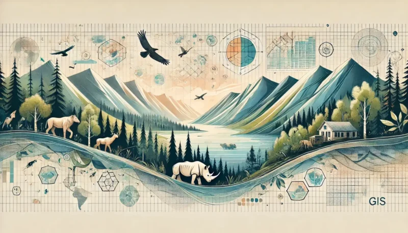
One of the most important skills you learn in GeoGuessr is recognizing geographic patterns. Consider, for example, how different climates influence landscapes, or how infrastructure varies by country. These skills are also crucial in GIS, where spatial analysis and pattern recognition are used to solve complex problems.
Examples of common geographic patterns found in both GeoGuessr and GIS include:
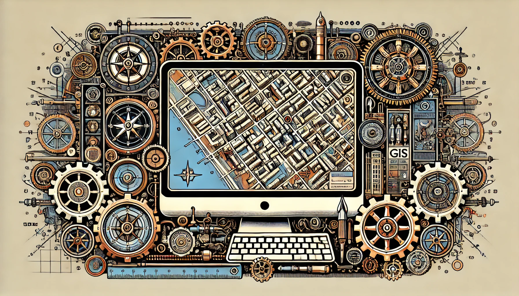
GeoGuessr players are becoming increasingly skilled at reading and interpreting maps, which is essential in GIS. GIS professionals use maps to visualize and analyze geographic information, which is a core component of projects across various sectors such as construction, the environment, and government.
To start a career in GIS, pursuing a degree or certification is a logical next step. Consider certifications such as ArcGIS and QGIS, or university programs focused on geographic data analysis and spatial visualization. These programs provide you with the tools to further develop your skills and apply them professionally.
In addition to a thorough understanding of maps and geoinformation, GIS professionals must also be familiar with software such as ArcGIS and QGIS. Knowledge of remote sensing and programming is also highly beneficial. These technical skills help you solve complex geographic problems and visualize data.
GeoGuessr offers a fun way to gain geographical knowledge, but it can also be the first step toward a career in GIS. By building on the skills you develop while playing—such as recognizing landscape features, interpreting maps, and analyzing spatial data—through training and certifications, you can make the leap from amateur geographer to GIS professional. Do you see yourself working in the world of geoinformation? Our GIS traineeship offers the perfect opportunity to turn your passion into a career. Take the next step toward a future in GIS today!