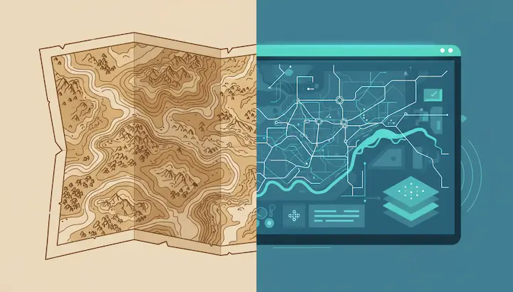
The evolution of GIS illustrates how geographic information systems have developed from simple mapping techniques into advanced digital platforms that are indispensable today. GIS helps organizations analyze spatial data, make better decisions, and gain insight into complex issues. In this article, we’ll take you through the history, development, modern trends, and applications of GIS.
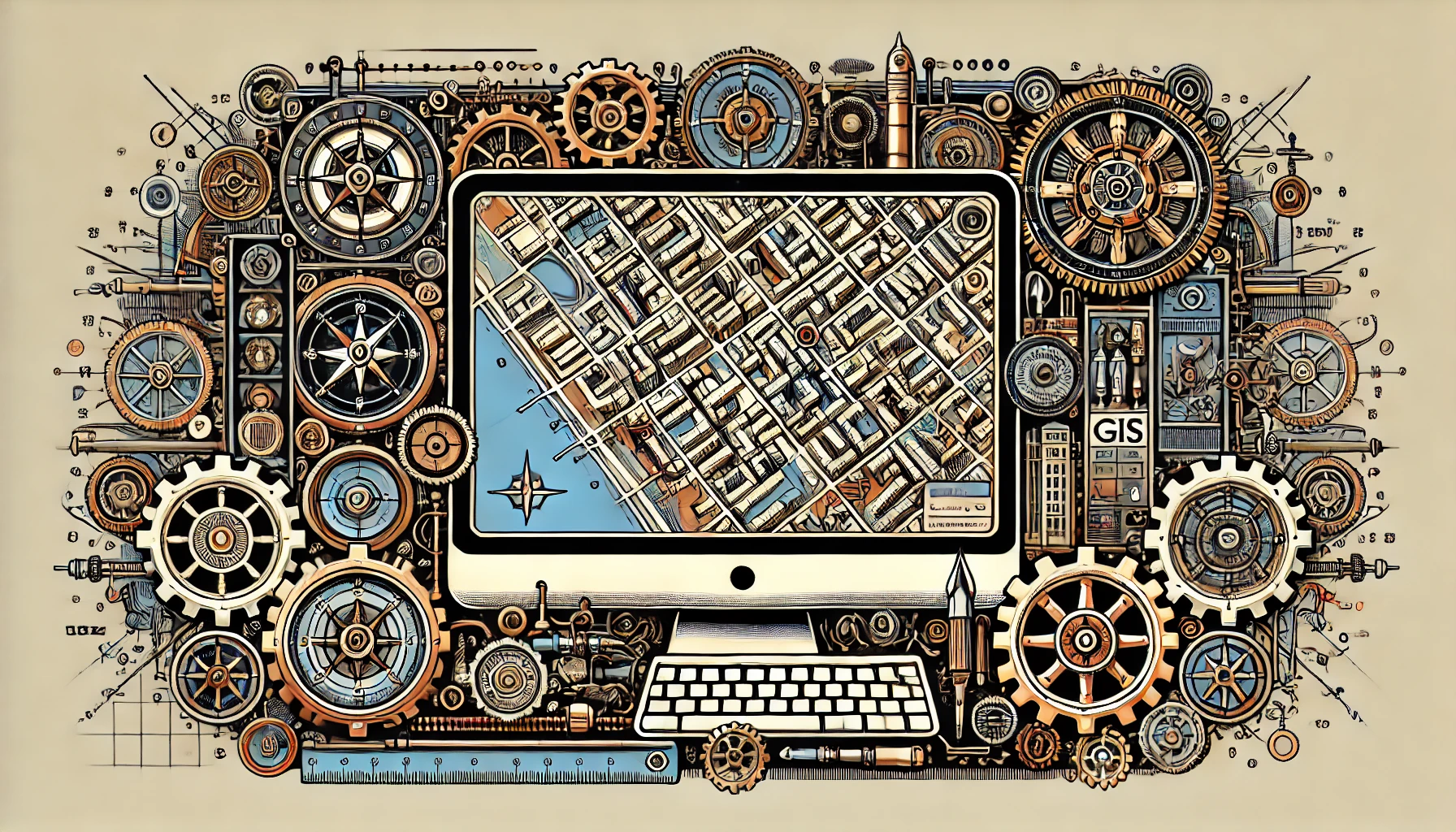
GIS stands for Geographic Information System: a technology that allows you to collect, analyze, and visualize spatial data. This includes maps, satellite imagery, and data sources that, when combined, provide insights into patterns and relationships. GIS has become increasingly important because more and more societal challenges have a spatial component, such as climate change, urbanization, and infrastructure planning.
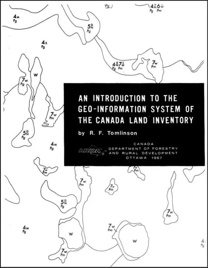
The emergence of GIS marks a significant milestone in the history of cartography and spatial analysis. In the 1960s, pioneers such as Roger Tomlinson and Howard Fisher laid the groundwork for what would become a revolutionary technology. Tomlinson’s work for the Canadian Land Inventory in 1963 introduced the first true GIS system, while Fisher’s Harvard Laboratory for Computer Graphics became a crucial hub for the development of early GIS concepts.
These initial developments demonstrated the enormous potential of GIS for managing and analyzing geographic data, and laid the foundation for the further evolution of this technology. The following sections delve deeper into the early years and the first success stories of GIS.
The early years of GIS were a period of pioneering work and innovation. In the 1960s, Howard Fisher developed some of the first computer mapping programs, such as SYMAP, at the Harvard Laboratory for Computer Graphics. This laboratory became a major center for the development of spatial analysis and visualization.
In 1963, Roger Tomlinson introduced the first true GIS system for the Canadian Land Inventory. This system made it possible to manage and analyze large amounts of geographic data, revolutionizing the way geographic information was used.
In 1969, Jack and Laura Dangermond founded Esri, a company focused on applying computer mapping and spatial analysis to improve land-use planning. Their work laid the foundation for many of the GIS methods we use today. Esri’s ARC/INFO, developed in the 1980s, was one of the first commercial GIS products and marked a significant milestone in the history of GIS.
Whereas maps used to be drawn by hand, digitization brought about a massive increase in speed and accuracy. Historical maps are still used today, but in combination with modern technology.
The development of GIS marked a fundamental shift: from static maps to dynamic data sources. From then on, data could be updated, combined, and analyzed. With the advent of satellites and aerial photography, GIS gained access to vast amounts of up-to-date data. Remote sensing made it possible to track changes in the landscape, climate, and urban areas in near real time. The combination of GIS and satellite technology has become essential for applications such as environmental monitoring, agriculture, and disaster response.
Modern GIS systems are increasingly web- and cloud-based. This allows teams to collaborate, share data, and perform analyses without relying on heavy local software.
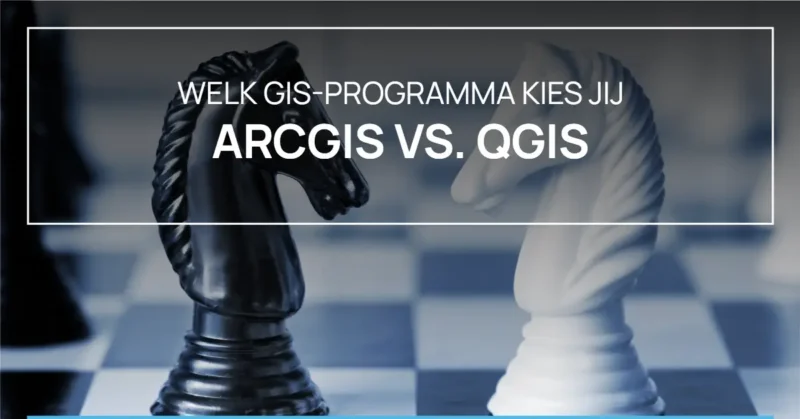
Open-source solutions like QGIS are getting better and better and are rapidly gaining ground alongside established commercial platforms. Whether you choose ArcGIS or QGIS, both have their own advantages.
Other trends
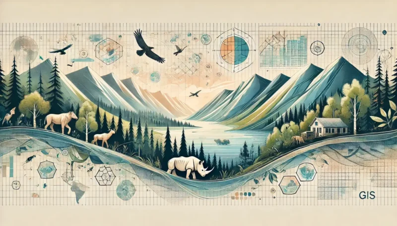
The power of GIS lies not only in the technology itself, but above all in the way it is applied across a wide range of sectors. Because virtually every societal challenge has a spatial component, GIS is used to reveal patterns, predict risks, and make better-informed decisions. From healthcare to crisis management, GIS is increasingly serving as the link between data and practice.
Some key applications of GIS include:
The future of geographic information systems lies in further automation, real-time data, and 3D visualizations. The difference between traditional and modern GIS is growing: whereas GIS was once primarily analytical, it is now becoming predictive and advisory.
Technologies such as AI, digital twins, and real-time dashboards ensure that GIS continues to play a central role in decision-making.
Due to its wide range of applications, the demand for GIS specialists is also growing. Whether you have a technical, analytical, or policy-oriented background, there are plenty of opportunities. Learn more about career opportunities in GIS/Geoinformation
The evolution of GIS demonstrates how technology continues to adapt to social and technological developments. From the origins of GIS to modern applications in healthcare, the environment, and emergency response, GIS continues to evolve and make an impact.
Anyone who wants to understand and shape the future cannot ignore GIS.