
What is Geo-ICT?
Geo-ICT (Geographic Information and Communication Technology) is the field concerned with the collection, management, analysis, visualization, and application of geographic (spatial) data using ICT and AI.
 Through the combination of geographic data, smart sensors, and digital models, Geo-ICT plays an increasingly important role in understanding, designing, and managing our living environment.
Geo-ICT, GeoAI, and ICT are used and applied across all sectors.
Is the geosector a small niche market?
Yes, when we talk about the geosector in the Netherlands, we often mean the following: A group of organizations engaged in collecting, processing, and analyzing geo-information and incorporating it into the basic registries. It is legally mandated that a number of these organizations are responsible for maintaining one or more of the geo-oriented basic registries: Land Registry (BKR), Addresses and Buildings (BAG), Property Valuation (WOZ), Large-Scale Topography (BGT), Soil (BRO), Topography (BRT), and Cables and Pipelines (WIBON). These data-holding organizations regularly supply the geographic data to the National Facility (LV). This geographic data is available to everyone in the Netherlands via the Public Domain on Map (PDOK).
This is not really a sector but a niche market that is steadily shrinking because it is entirely dependent on the Dutch government and a few associations and industry organizations consisting of retirees, volunteers, conventional surveyors, and (land registry) officials.
Geo-ICT is a massive growth market!
Geo-ICT Training Center Netherlands sees a massive growth market and is adding a new generation of highly skilled geo-professionals active across all sectors. We place Geo-ICT professionals at various organizations active in diverse fields: consulting firms, agricultural cooperatives, architectural firms, dredging companies, contractors, data analysis firms, municipalities, engineering firms, the Land Registry, agricultural businesses, surveyors, landscape architecture firms, ministries, education, nature conservation organizations, offshore, environmental services, provinces, Rijkswaterstaat, software firms, railways, safety regions, insurers, water boards, and housing associations.
Geo-ICT is used in virtually all sectors of society. Satellites continuously scan and photograph the entire globe. Additionally, measurements are taken on land, at sea, and in the air using sensors, 3D scanners, drones, and Robotic Total Stations. This measurement equipment is often connected via the Internet of Things (IoT), enabling geographic data to be collected, processed, and analyzed in real time. In the Netherlands, work is underway to build a digital 3D city model of every city. This model contains detailed information about buildings, roads, bridges, and the ground level.
- The construction sector can make good use of 3D models in design, planning, and management. They also align with the Building Information Model (BIM), which is increasingly being used in construction and infrastructure. In the future, such models could even be used to digitally simulate or physically reconstruct entire cities, for example, when a coastal city becomes uninhabitable due to climate change.
- Spatial Planning and Urban Development
Geo-ICT supports governments in planning residential areas, industrial parks, and infrastructure. By analyzing spatial data, decisions can be made that take into account accessibility, livability, and sustainability. - Water management
Water boards and the Department of Waterways and Public Works use geographic data to monitor water levels, dikes, and rivers. Models and sensors enable the prediction of flood risks and the timely implementation of measures. - Agriculture (precision agriculture)
Farmers use satellite imagery and sensors to determine, on a per-plot or even per-square-meter basis, how much water, fertilizer, or pesticide is needed. This increases yields and reduces environmental impact. - Mobility and logistics
Geo-ICT is used for traffic management, navigation systems, and planning efficient transport routes. This shortens travel times, reduces traffic jams, and optimizes logistics processes. - Public safety and disaster response
Emergency services use geographic information during disasters such as floods, wildfires, or major accidents. Maps and models assist with evacuation plans and the rapid assessment of risks. - Environment and nature
conservation Geo-ICT enables the monitoring of changes in natural areas, such as deforestation, land subsidence, and the spread of plant and animal species. Air and water quality are also mapped spatially. - Energy and Sustainability
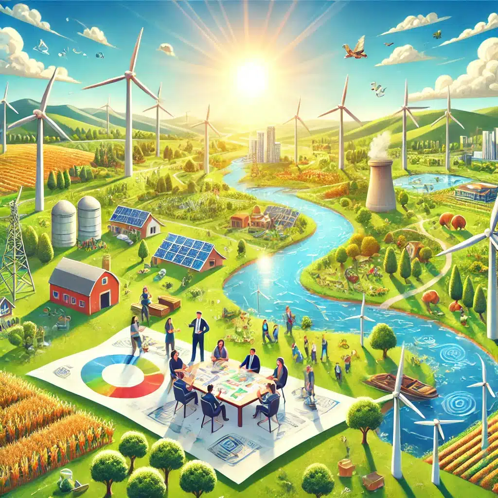
Geographic analyses help identify suitable locations for wind turbines, solar farms, and district heating networks. These assessments take into account landscape, existing structures, environmental impacts, and energy yield.
Geo-ICT and AI are shaping the future!
The goal of the Geo-ICT Training Center is to help people get off to a solid and practical start with AI. The training courses are accessible to participants from diverse backgrounds, ranging from beginners to experienced GIS professionals. The focus is not only on theory but primarily on understanding and applying AI in concrete, realistic work situations.
In addition to general AI skills, the Geo-ICT Training Center trains GIS specialists to apply AI to geographic issues—also known as GeoAI. GeoAI combines geographic data with machine learning, image recognition, and advanced analytics. This enables large amounts of spatial data to be interpreted faster and more intelligently.